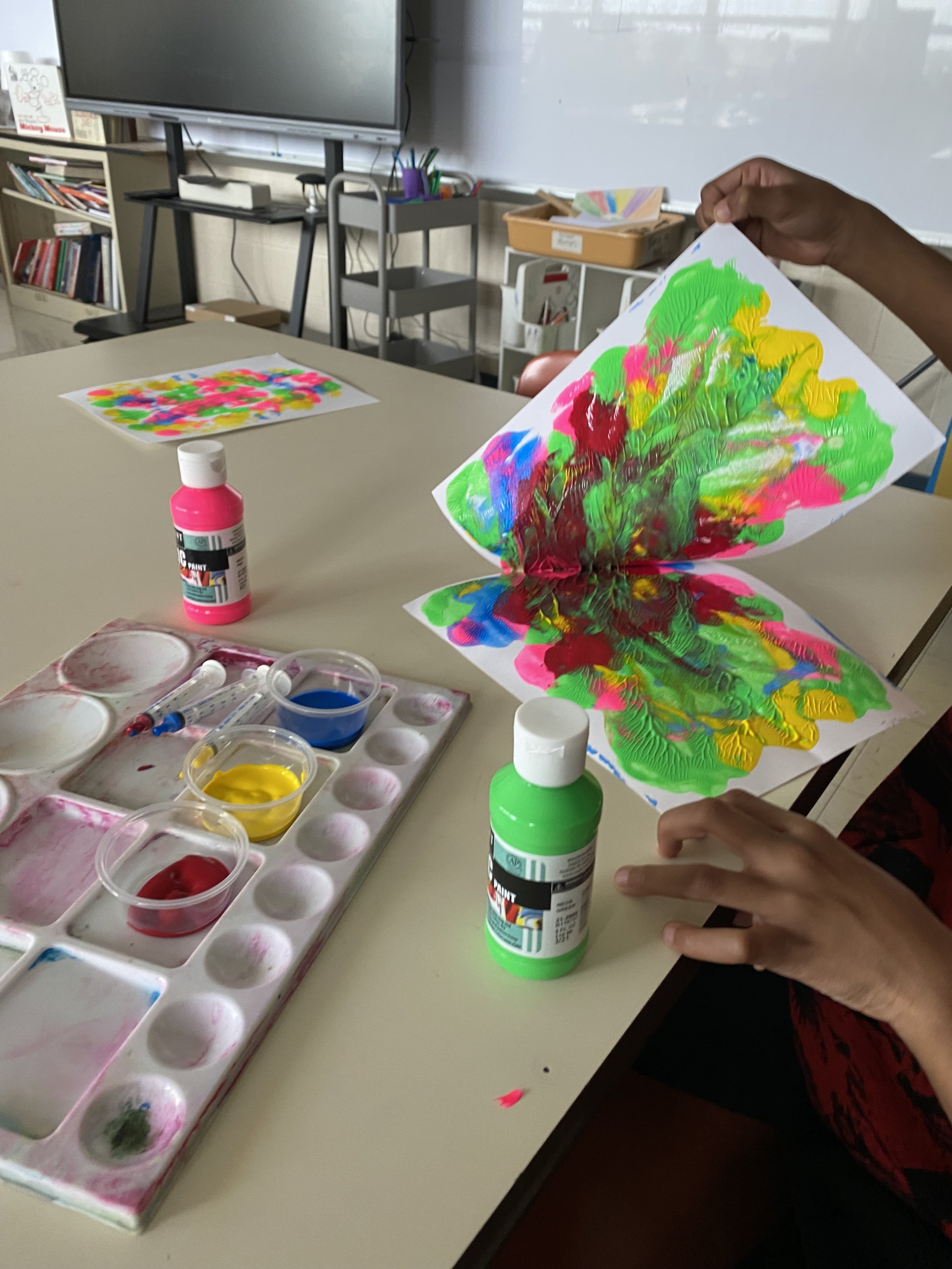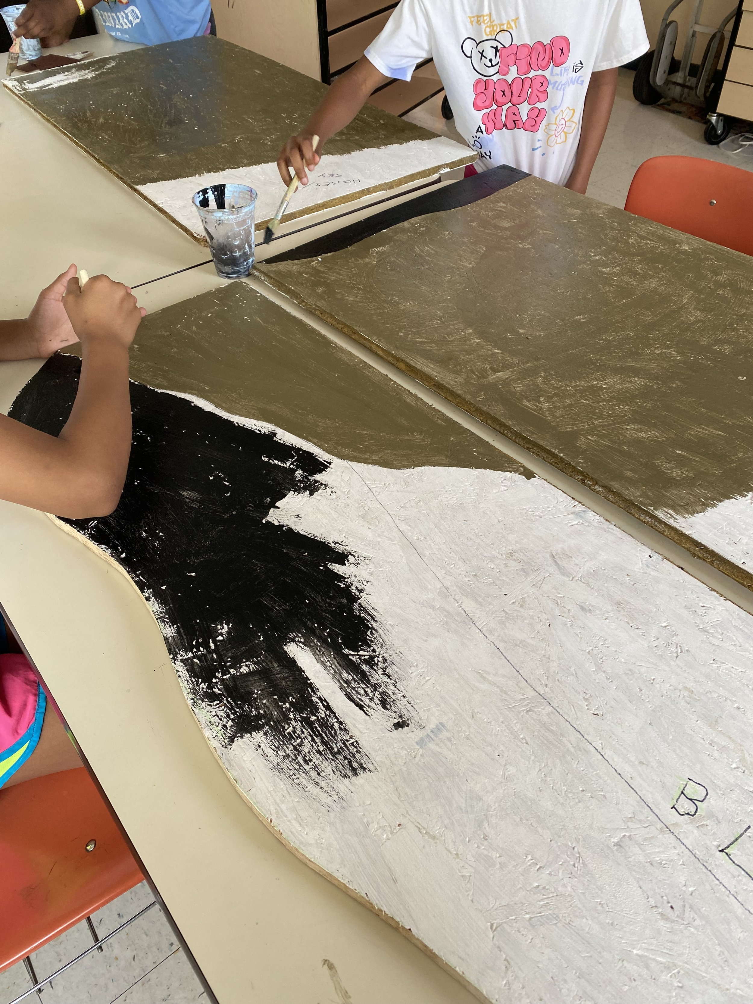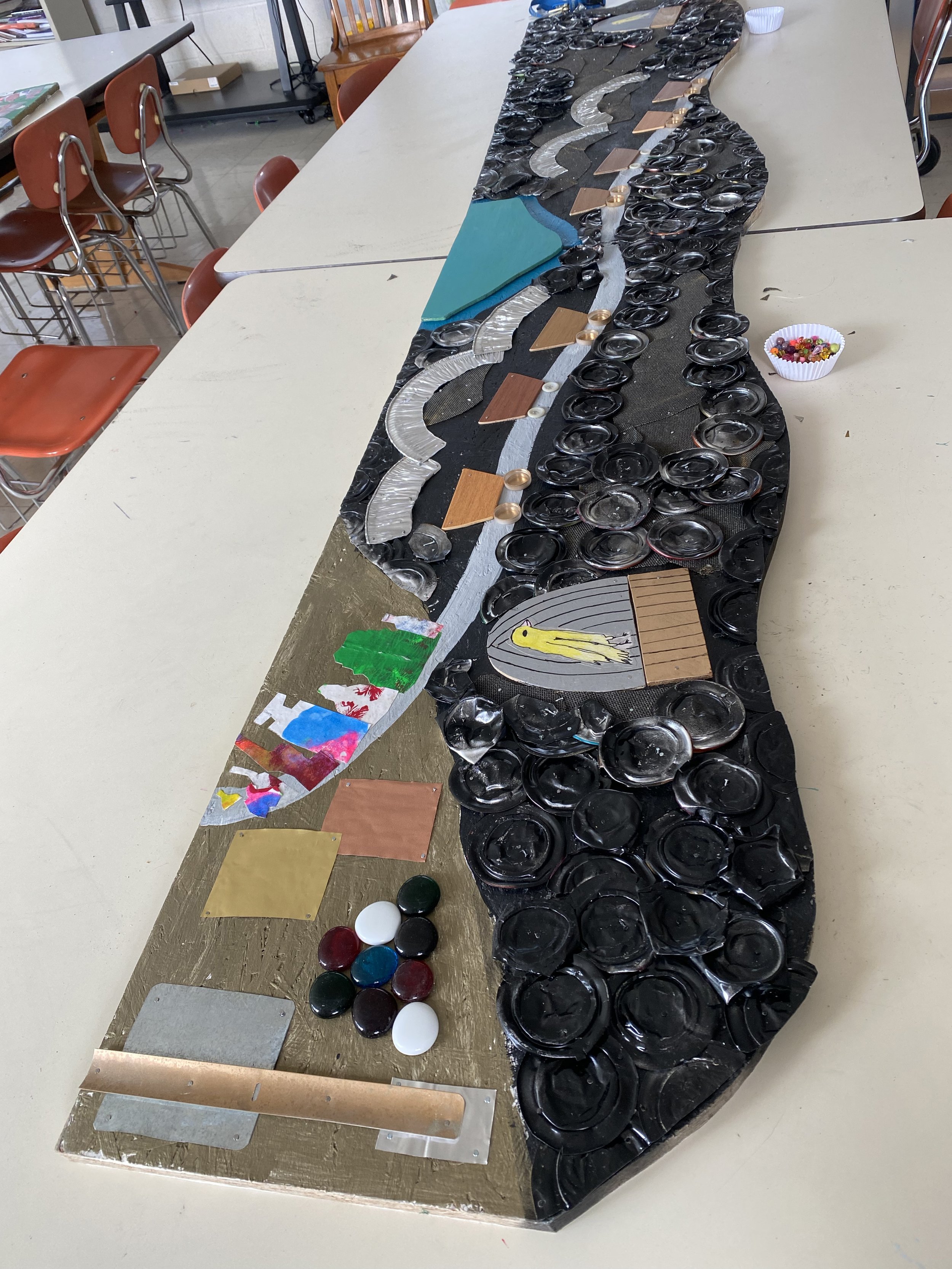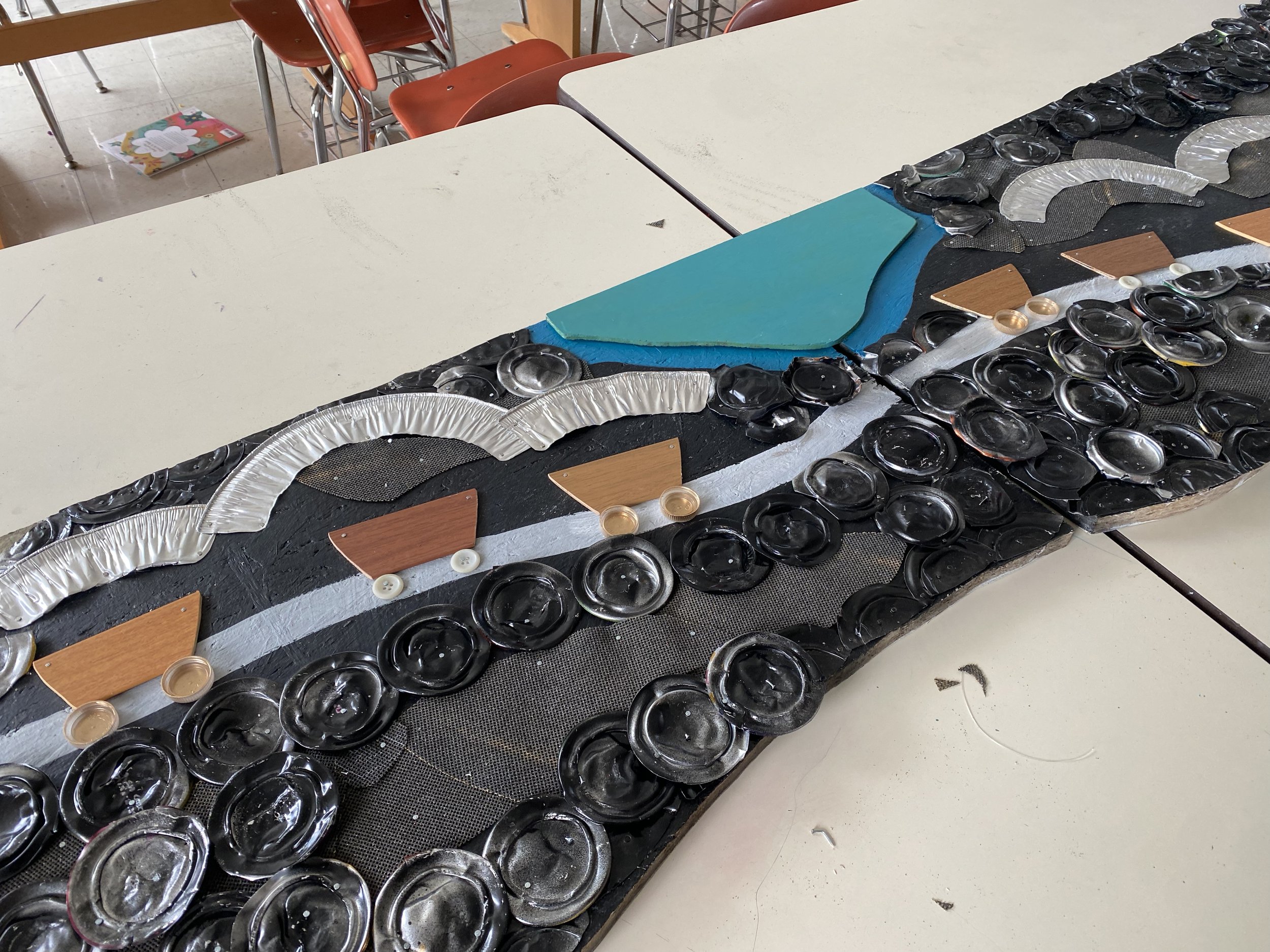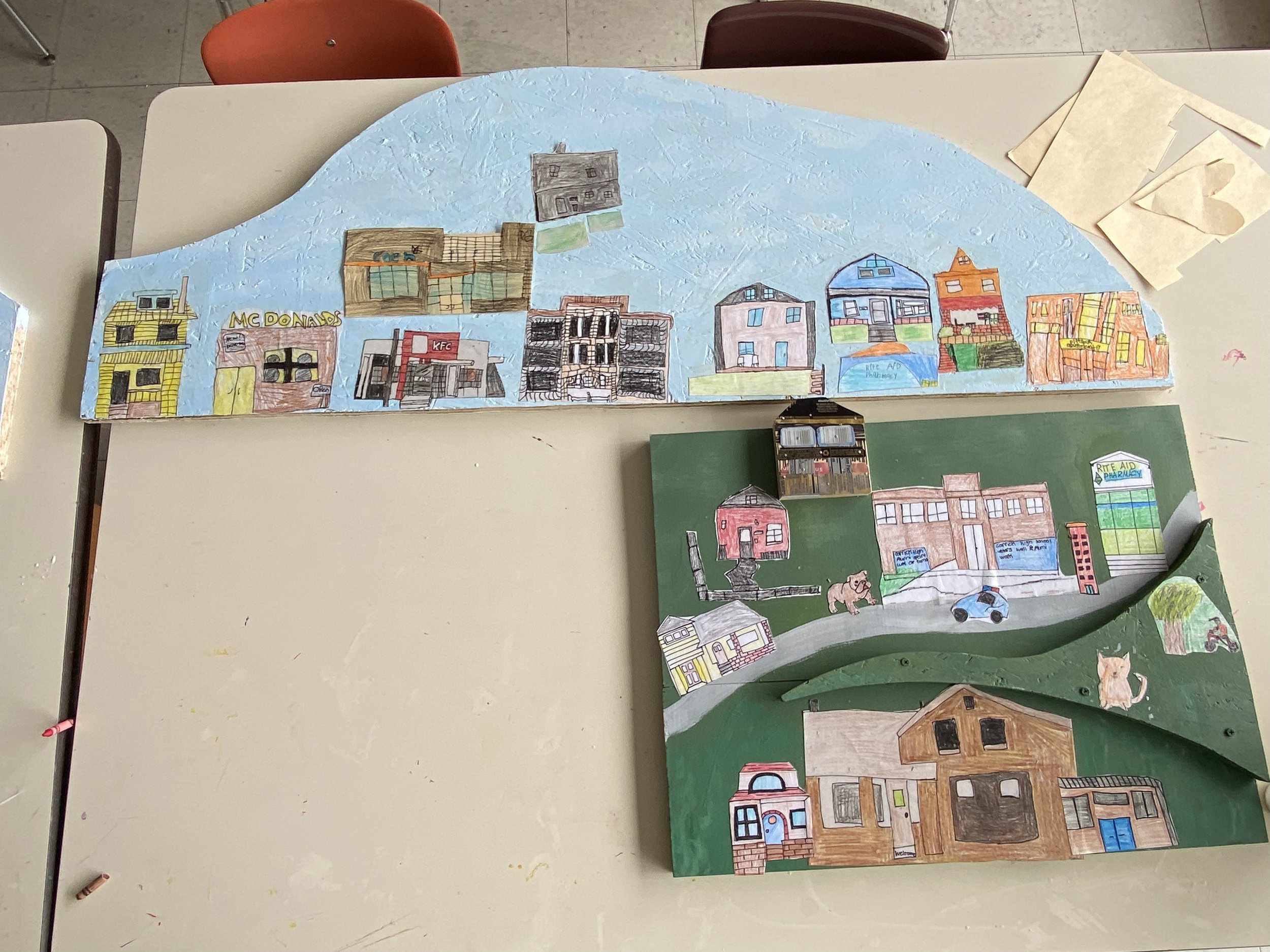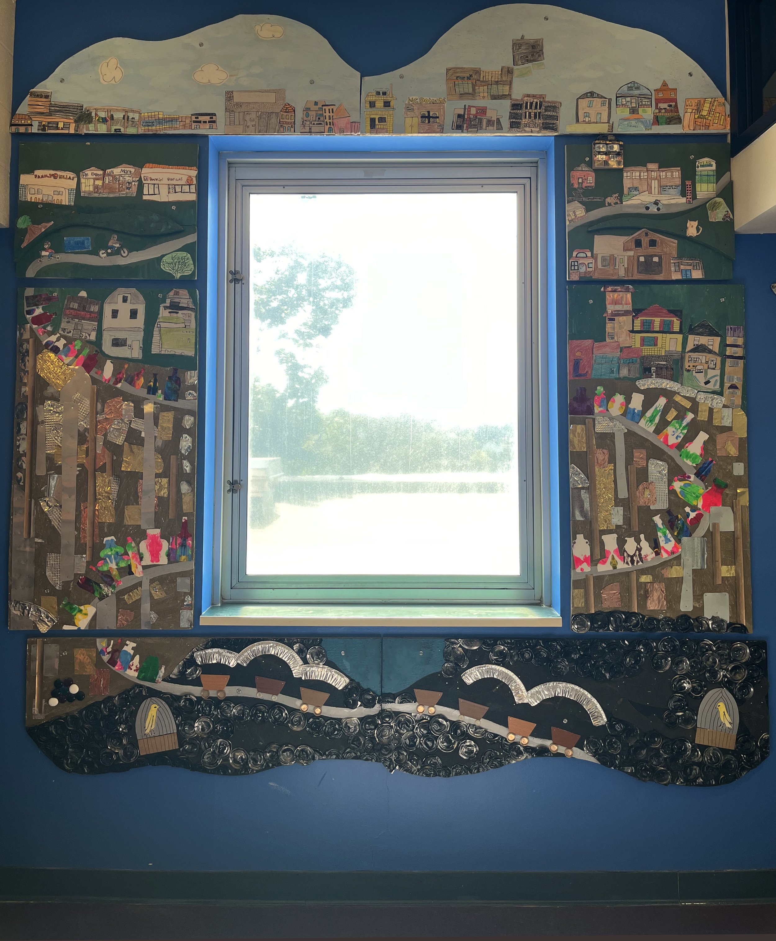
In 2024, I partnered with Pittsburgh Roosevelt art teacher Kyle Foor to work with the two 5th grades classes over ten sessions to create a mural depicting the history of Carrick, the neighborhood where the school and its students are located. I chose to focus on mixed-media collage so that we would have the most success at interpreting local history in a way that would be concrete to the mural’s audience (the entire elementary school as they would be coming and going through the hallways). Using chipboard repurposed from other projects, we divided Carrick history into three main themes. In the earliest era of European settlement, Carrick and the surrounding areas were mined heavily for coal. This bottom section shows mixed media coal cars as well as crushed aluminum can bottoms to represent the physical coal being mined. (Crushing cans with a mallet was a favorite activity of the students.) One of the students also drew a pair of canaries and it was interesting to use those illustrations as part of the discussion for how dangerous coal mining was (and still is) for the workers employed in the mines.
After the major coal seams were extracted, glass manufacturing happened across the South Side and South Side Slopes neighborhoods. This area was initially settled as the boroughs Birmingham, East Birmingham, South Pittsburgh, and Ormsby, and was annexed by the City of Pittsburgh in 1872. There were many booming industries located here, including brewing, but focusing on the glass manufacturing (both here and all along the Monongahela into West Virginia and Ohio) seemed more age appropriate. In the booming years, there were over 80 glass businesses creating bottles, flasks, jars, and window glass. Thus the mural’s middle section shows bottles on an assembly line with columns and squares of anodized aluminum and venetian blinds representing the area’s factories.
Finally, as this industry began to wane, these neighborhoods began to shift to a more residential focus. The fifth grade classes used Chromebooks and Google Maps to look up local landmarks in their neighborhood, illustrating local restaurants, corner stores, homes, and businesses. We had several beautiful drawings of the Carrick branch of the Carnegie Library, so we eventually plan to share the drawings that we didn’t use in the mural with the library itself. Students worked so thoughtfully to realistically sketch, outline, color, and glue their buildings especially. Some of the students particularly chose very detailed buildings and I was delighted at how patient they were in thoughtfully making artistic choices, and in how well they worked as we rotated through different activities as the project was finishing up.
Lastly, there is a small abstract blue shape that represents the confluence of the Allegheny, Monongahela, and Ohio rivers. This is meant as our land acknowledgement for the Native people who lived in this area long before Europeans arrived. With so little information available about the earliest tribes, it felt the most respectful to acknowledge the First Nations people in words instead of illustrations made by children. The text will read “Southwestern Pennsylvania is the ancestral home of generations of native peoples including the Adena, the Delaware, the Hopewell, the Monongahela, the Osage, the Seneca, and the Shawnee.” This searchable map was an invaluable resource. (Of note, the name Iroquois is sometimes used to refer to Eastern Woodlands/long house tribes in Pennsylvania and New York, but is a French name, not a native one. Some of these tribes were also part of the League of Five Nations, or the Haudenosaunee Confederacy.)
My biggest thanks to Kyle Foor for hosting me, for Principal Leah McCord for welcoming me into the school, and to the fifth graders (the future class of 2031!) for creating a legacy piece of art for their neighborhood school!


